
Bath Township ZIP Codes, Verified Patterns
Only two postal patterns have direct official support for Bath Township. They demonstrate how the Township receives mail and how its administration address is written. They do not establish a complete list of every ZIP that may touch a Township edge, and they do not draw a ZIP boundary. The careful approach is to name the verified patterns, keep the actual address form used by the source, and ask USPS to confirm each full address before adding another ZIP to a record search.
| ZIP | Area directly evidenced | Post office or source | Record-reading note |
|---|---|---|---|
| 44210 | Township post-office and mailing pattern. | Bath Post Office and the Township P.O. Box format. | Do not assume every physical Bath parcel uses this ZIP. |
| 44333 | Township Administration physical address and many Township notices. | Official Township address uses an Akron postal label. | An Akron postal city does not place a parcel inside the City of Akron. |
| Not verified | Other edge-address routes. | No official Township-wide USPS ZIP-boundary map was located. | Confirm the complete property address in USPS before naming another ZIP. |
The USPS ZIP Code Lookup is the authoritative address-specific confirmation tool used for the postal check.
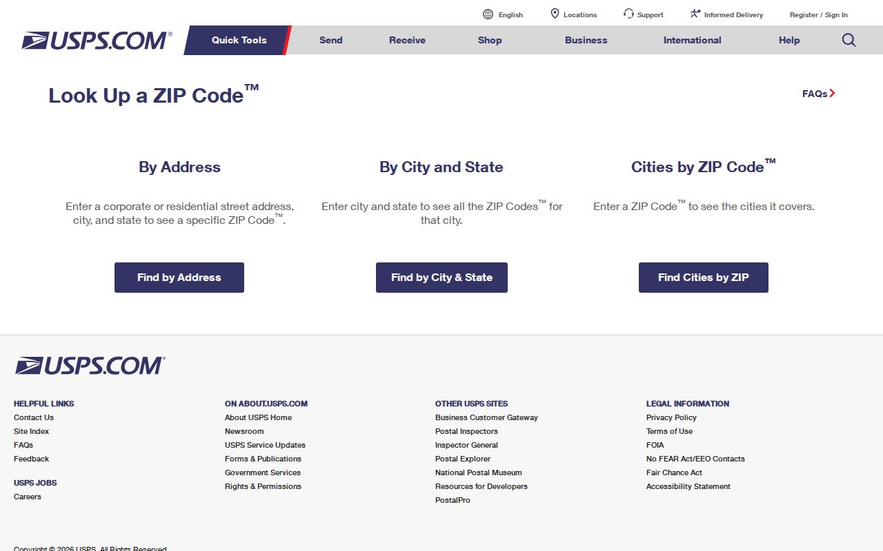
Use a complete street address in the USPS tool. A Township name alone is not a substitute for the address-based result.
Confirm Bath Township ZIP Codes by Address
A verified ZIP workflow has two parts: postal confirmation and parcel confirmation. USPS supplies the delivery ZIP for a complete address. The Summit County property portal can use that five-character ZIP as one filter among its address, owner, parcel, route, and tax-year fields. After a result is selected, the GIS Viewer can confirm the parcel's site address and geometry. These tools should be read in order. USPS does not make a jurisdiction decision, and the county property result does not create a ZIP-wide resident list.
- Enter the complete street address in the USPS ZIP Code Lookup and retain the returned postal form.
- Use the five-character result in the Summit County property search only when it helps narrow an address or parcel query.
- Select the property record and compare its site address, owner-of-record field, parcel, displayed tax year, and legal-description clues.
- Open the County of Summit GIS Viewer by parcel, owner, or street address to confirm the mapped parcel context.
- Use the Board of Elections individual search only after there is a person's name, because it is not a ZIP or address browser.
Once a ZIP filter has narrowed a property result, the next street-level task belongs with the Bath Township street directory. That address workflow keeps title, parcel, and street evidence in their proper sources.
Bath Township ZIP Code Search Fields
Summit County Property Tax & Appraisal is the official county portal with a real ZIP field. The current form accepts a five-character Zip input, and it does not make its principal fields required. It also offers Address No, Route, Street, Owner, Parcel, and Tax year. Use the smallest reliable detail first. An incomplete search may produce many results, and the portal warns that data are updated nightly and subject to change. The displayed tax-year options run from 2012 through 2026, with the portal instructions directing the user to select 2026 for current owner and 2025 for current tax.
| Portal field | Format | ZIP-search role | Limit |
|---|---|---|---|
| Zip | Five characters | Narrows a property or account query. | It is not a resident roster. |
| Address No | House-number component | Pairs with Street for a physical-address search. | Confirm the selected parcel. |
| Street | Up to 30 characters | Refines a street query within the county record. | Postal city wording may vary. |
| Owner | Up to 30 characters | Searches recorded-owner data. | It does not prove occupancy. |
| Parcel | Up to 30 characters | Connects a known parcel to a property result. | Keep the identifier exactly as displayed. |
| Tax year | Dropdown, 2012-2026 | Sets the shown data-year context. | Do not treat the menu as complete ownership history. |
The Property Tax & Appraisal portal is a property and account source. Its ZIP filter is useful, but it does not show who resides throughout a delivery route.
Bath Township ZIP Codes in GIS
The County of Summit GIS Viewer is a parcel-geometry tool, not a ZIP browser. Its documented search sources are Parcel ID, Owner Name, Site Address, a Summit Addresses geocoder, and a default address-or-place geocoder. ZIP is not exposed as a main parcel-search field in the inspected configuration. That distinction is useful: property search filters an account query by ZIP, while GIS helps verify the selected parcel's site location, shape, road alignment, and available map layers.
When an address uses a Bath or Akron postal label, select the parcel before drawing any conclusion about the Township. The map can support the geographic comparison, but its measurements and shapes are not a legal survey or a postal boundary map.
Note: A ZIP filter and a parcel map answer different questions, so retain both the USPS result and the selected county parcel result in any address research.
Bath Township ZIP Search Limits
The Summit County Voter Information Search is useful for checking one named person's public record. It requires Last Name and First Name. It has no public ZIP browse or address-only form. The Board separately lists street-report and voter-report functions, but their live report details and protected-record exclusions must be checked when a defined public-record request is needed. Do not represent the individual form as a way to enumerate a postal route.
Ohio's public-online voter fields are prescribed by ORC 3503.153, while ORC 3503.13 excludes confidential registrations and specified identifiers. The Board's individual search begins with a name, and a public result remains subject to those limits and the county's accuracy notice.
The Ohio voter-database statute is the source captured for the limits on public online fields.
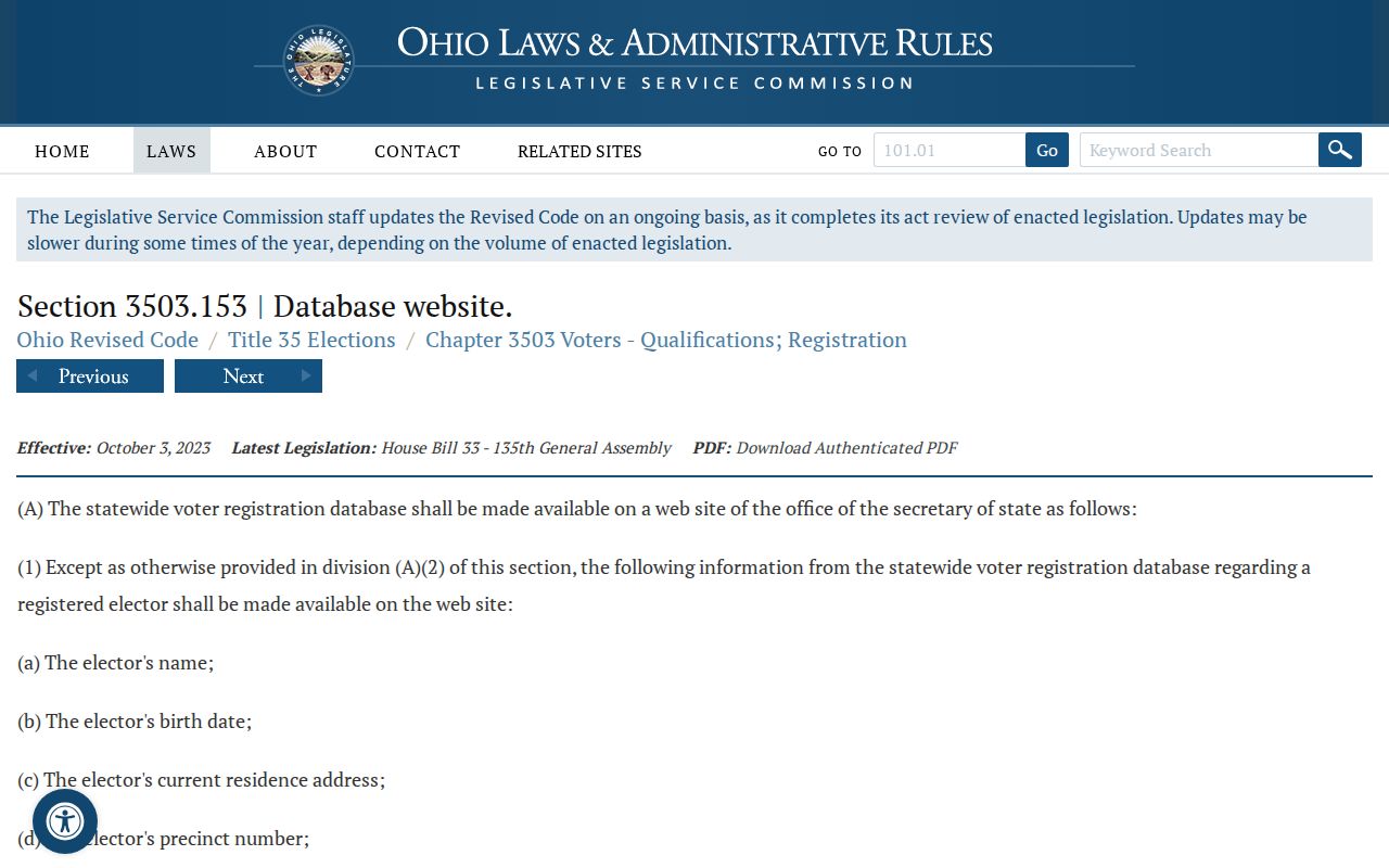
A name-driven voter record can support a specific, lawful verification task. It does not replace USPS or county parcel tools for ZIP and address work.
Bath Township Address Labels Differ
A ZIP-driven search works better when the address terms are not collapsed into one label. A property record can show the physical site, a mailing contact address, and a deed's legal description. Each comes from a different administrative purpose. Bath's postal patterns make this especially clear: a Township office can use an Akron postal label at its physical location and a Bath postal pattern for its post-office mail. Historic directories can introduce still another printed city or route convention.
- ZIP code
- A USPS delivery-routing code for a postal address. It is not a city, Township, or parcel boundary.
- ZIP+4
- An added delivery segment used by USPS after the five-digit ZIP. It does not change the underlying jurisdiction.
- PO Box ZIP
- A ZIP form used for post-office box delivery. It should not be treated as a map of physical property service.
- Carrier route
- A postal delivery grouping. It is not a public resident directory or a civic boundary.
- Legal description
- A lot, subdivision, acreage, or related land description used to connect a deed and parcel when postal wording changes.
Bath Township ZIP Codes and Jurisdiction
Bath Township lies on Summit County's western side next to Akron, so postal city labels and civil geography do not always use the same name. The verified 44333 Township administration address carries an Akron label. The verified 44210 Township post-office and mailing pattern carries Bath. Neither fact alone proves a parcel is inside the Township or the City of Akron. Use the full address in USPS, then compare the county parcel and the record's legal description before assigning a property to a governmental area.
The same rule applies to notices, tax records, and old printed entries. Preserve each source's address form rather than standardizing it prematurely. The Township's physical address, postal box, and county parcel system serve different purposes, which is why a ZIP code directory must state the mismatch plainly rather than draw a broad map claim.
Postal caution. A Bath or Akron mailing label is delivery information, not jurisdictional proof. Confirm the complete address and selected county parcel before relying on a ZIP in a records search.
Bath Township Postal Names Over Time
Ghent, Bath Center, and Hammond's Corners are named historic areas in Bath Township. Earlier material can also use Wheatfield or Hammondsburgh. Those place names add context when a historic address does not look like a modern postal form. They do not supply a modern ZIP boundary. Compare the original spelling and place name with the legal description, parcel, historic map, and full postal address before deciding that two records refer to the same location.
The Census Bureau Bath Township profile is a Township-level demographic source, not a USPS ZIP coverage map.
Use the profile for community context only. Postal verification still depends on USPS and the exact address.
Bath Township ZIP Code Coverage Gap
No authoritative Township-wide USPS ZIP-boundary map or verified all-ZIP list was located in the research. That limit should remain visible. Third-party maps may suggest additional routes, but they are not a basis for claiming that every Bath Township address uses a certain ZIP. The reliable alternative is specific: run the complete street address through USPS, use the property portal's five-character field when it helps, and confirm the parcel in GIS before describing the record's location.
For public-record access beyond the online tools, Ohio's Public Records Act, ORC 149.43 provides the state inspection and copying framework. A narrow request should identify the record sought rather than asking an office to create an unverified ZIP roster. That preserves the distinction between a postal routing detail, a county parcel record, and an official record request.