
Follow a Bath Township Street
A street-by-street search begins with the county record that is keyed to land, not with a name list. Enter the house number and street in Summit County Property Tax & Appraisal, or put the full address into the County of Summit GIS Viewer. Select the parcel that matches the physical site, then preserve the parcel identifier, site address, displayed tax year, owner of record, legal description, and transfer clues. The property file is useful because it separates the taxable parcel from other information carried for tax administration. It is not proof of every person who may be present at that address.
Next, use the parcel and legal description in the recording trail. The individual voter form is name driven, not an address browser. When a lawful task calls for a defined street report, the Board of Elections lists a separate Street Report Generation tool among its candidate and voter tools. Historical printed entries can be checked only after confirming that a surviving volume covers the relevant place and period. This sequence keeps the street directory focused on address evidence rather than assumptions about a household.
- Search the address in Property Tax & Appraisal and select the matching parcel.
- Record the site address, parcel, tax year, owner-of-record field, legal description, and transfer clues exactly as displayed.
- Open the county parcel map to compare the parcel shape, road alignment, and adjacent features.
- Use the Recording Division party and legal-description trail to trace recorded instruments through the correct time period.
- Check the Board's separate report path or an applicable historic directory only for the specific lawful question at hand.
Note: A road name alone can match more than one place, so a selected parcel and its displayed site address should anchor every next search.
Bath Township Street Directory Fields
The Fiscal Office property form is the most direct official street directory tool because it accepts both parts of an address and several ways to narrow a result. Its six main inputs are optional. That helps when only part of an address is known, but a broad query can return up to 500 rows. The instructions advise being specific, omitting quotation marks, and using a subdivision spelling without an apostrophe. Use the displayed tax year as part of the result's context. The form's 2012 through 2026 options describe its shown tax-year range, not a promise that each ownership fact reaches back through every one of those years.
| Property field | Use in a street search | Important limit |
|---|---|---|
| Parcel | Locates a known county parcel identifier. | Retain it exactly for later county searches. |
| Address No and Street | Builds a physical-address query. | Confirm the selected site, not just a similar road name. |
| Route | Offers an alternate route identifier path. | It is not a statement of jurisdiction. |
| Owner | Searches recorded-owner data. | It does not identify all occupants. |
| Zip | Accepts a five-character ZIP filter. | The result remains property and account data. |
| Tax year | Sets the displayed data-year context. | Compare it before treating a field as current. |
The Summit County Fiscal Office capture shows the county office behind the property and recording functions.
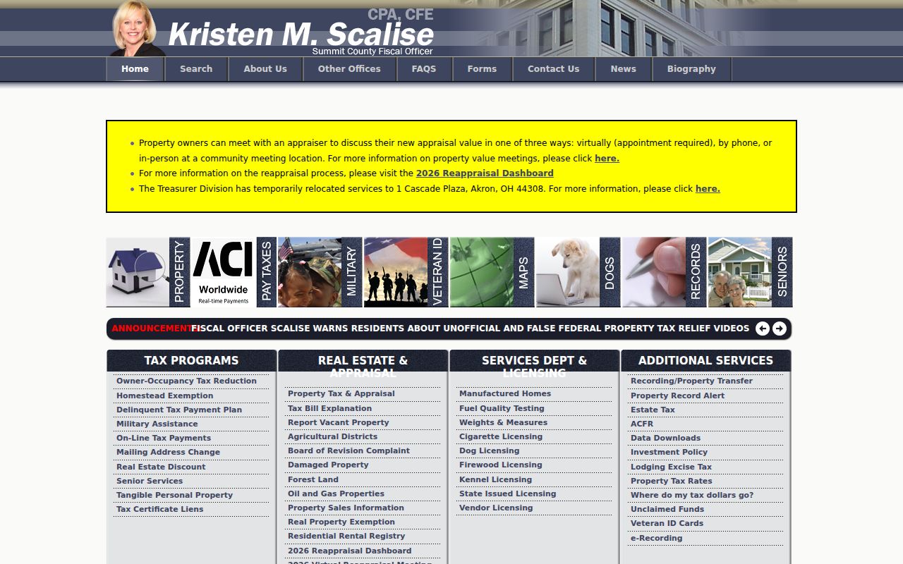
The Fiscal Office combines appraisal, tax, recording, GIS, and related county functions, so it is useful to identify the division that holds the next record before moving on.
The Fiscal Office's property search information shows the county's current property-search context.
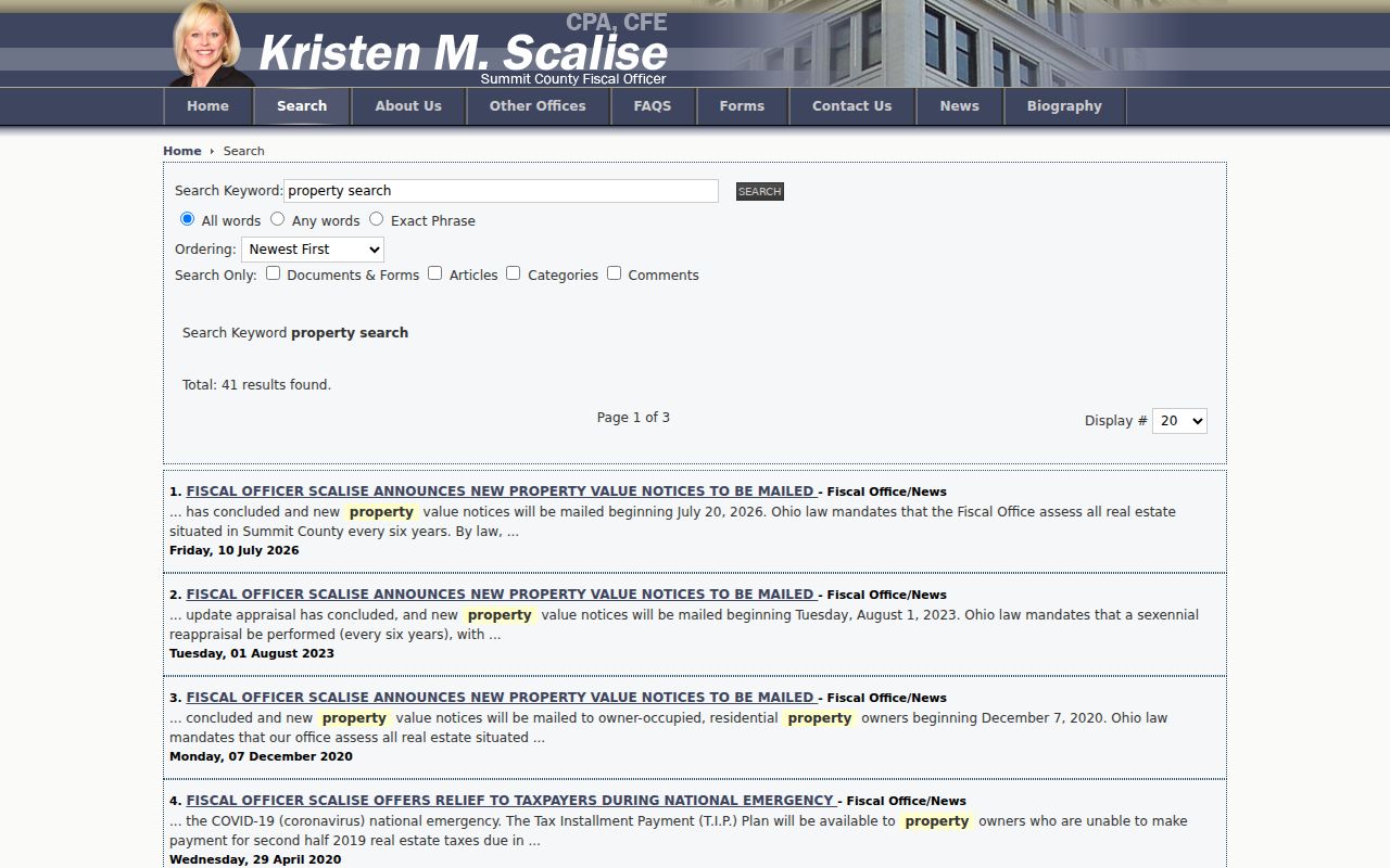
Property display data can change, which is why the parcel and selected tax year belong in research notes alongside the address.
Map Bath Township Streets by Parcel
The official GIS Viewer has a different job from the property form. Its Parcel Viewer search hint is “Search Parcel Number, Owner Name, or Street Address.” The configured search sources include Parcel ID, Owner Name, Site Address, a Summit Addresses geocoder, and a default address-or-place geocoder. Typical selected parcel output carries Owner Name, Parcel ID, and Site Address. Map layers, recent searches, and measurement information are enabled, although the available layer set can change.
Select the subject parcel first. Then pan and click each adjoining parcel individually if nearby property context matters. The research did not identify a documented button that automatically collects every neighbor within a buffer. Measurement can help understand geography, but it does not establish a legal lot line. A shared street name also does not prove that two parcels form one block or share a household relationship.
Note: GIS geometry is a research aid, not a survey or a legal boundary opinion, so compare it with the recorded legal description when precision matters.
Bath Township Address Records Compared
Several record systems can be reached from a Bath Township address, but they answer separate questions. The property portal supplies the current county parcel context. GIS shows geometry and selected parcel fields. Recorded instruments preserve a transaction trail. Township notices can supply an address-timed planning or board record. The Board's individual lookup starts with a name, while its separate street-report option is a distinct channel. Historic printed material is a supplemental source, not a continuous roster. Reading the sources together prevents an owner, applicant, or recorded party from being described as a current resident without support.
| Address record | Custodian | What it can establish | Access and constraint |
|---|---|---|---|
| Property record | Summit County Fiscal Office | Parcel, site address, owner of record, displayed tax year, and tax or transfer clues. | Public property portal; it is not household evidence. |
| Parcel layer | County of Summit GIS | Parcel shape, parcel ID, site address, owner-name map search, and layers. | Free viewer; map geometry is not a legal boundary opinion. |
| Recorded deeds and indexes | Fiscal Office Recording Division | Parties, instrument references, dates, and legal descriptions. | Web documents from 1988; IBAV for 1840-1988; fourth-floor public computers. |
| Township notices | Bath Township | Listed property, applicant or owner as recorded in a planning case. | Notice and board materials; no universal permit database was verified. |
| Historic directories | ASCPL Special Collections | Printed name or business entries by address in a surviving volume. | Use only a volume that covers the address and period. |
The street directory's useful chain is address to parcel, parcel to legal description, legal description to recorded instrument, then a dated historical source where one actually applies.
Trace Bath Township Street Deeds
The Summit County Fiscal Office Recording Division keeps the instruments that affect title. Its online recorded-document access starts in 1988. The Index Book Archive Viewer covers 1840 through 1988, and public computers are available in the fourth-floor Customer Service Area. The office does not perform a title or property search for a requester. That division of work matters: a street search becomes a documented party-and-description sequence, not a request for the office to identify who lived at an address.
Start with the property record's parcel and legal-description clues. Find the latest transfer instrument, note the buyer or grantee and prior seller or grantor, then search the former party as a prior grantee while comparing lot, subdivision, or other legal-description details. A grantor is a party transferring an interest; a grantee is the party receiving it. Recording or sale dates date the transaction, not a confirmed move. Trusts, estates, companies, lenders, and heirs can also appear as parties.
For a copy by mail, the FAQ reports a $4 deed-copy charge, plus $1 for certification, and requires a stamped self-addressed envelope. The same source gives a three-to-five-working-day general document turnaround. Those channels supplement the web and archive search when a browser result is incomplete.
Bath Township Street Records Before 1840
Bath was organized in 1818 in Medina County and entered Summit County in 1840. That boundary change is a practical street-record break. A title trail that reaches before 1840 should not be forced into a Summit-only index. Akron-Summit County Public Library Special Collections holds grantor indexes for Trumbull, Portage, Medina, and Stark counties covering 1795 through 1840 where the later Summit area was indexed under a predecessor jurisdiction. The legal description is the bridge when a current address does not appear in an earlier book.
The numbers also explain why the Recording Division has two historic access paths: the web period begins in 1988, while the Index Book Archive Viewer reaches 1840. Earlier Bath research may need a predecessor-county index as well as a Summit archive book. A blank Township proceeding is not decisive either, because Bath's early original Township records were lost and the earliest surviving officer list identified in its history is from 1865.
Bath Township Records at an Address
Bath Township's Fiscal Officer keeps township proceedings, fiscal documents, meeting material, public-record policies, zoning files, and local notices. The Township’s public notices and legal advertisements can provide a dated connection between a listed property and a zoning, board, or planning matter. They are particularly useful when a road or parcel needs local project context. A listed applicant or owner is still a case-specific record, not a complete account of everyone associated with the address.
No self-service township-wide permit database was verified. When a notice does not answer the question, use the published notice material, contact the appropriate Township office, or make a narrow public-record request under the Ohio Public Records Act, ORC 149.43. Describe the record and address clearly. The Fiscal Officer can help route a public-record request, while the property, GIS, and recorded-title paths remain county functions.
The Township notices page is the source for this address-specific local record channel.
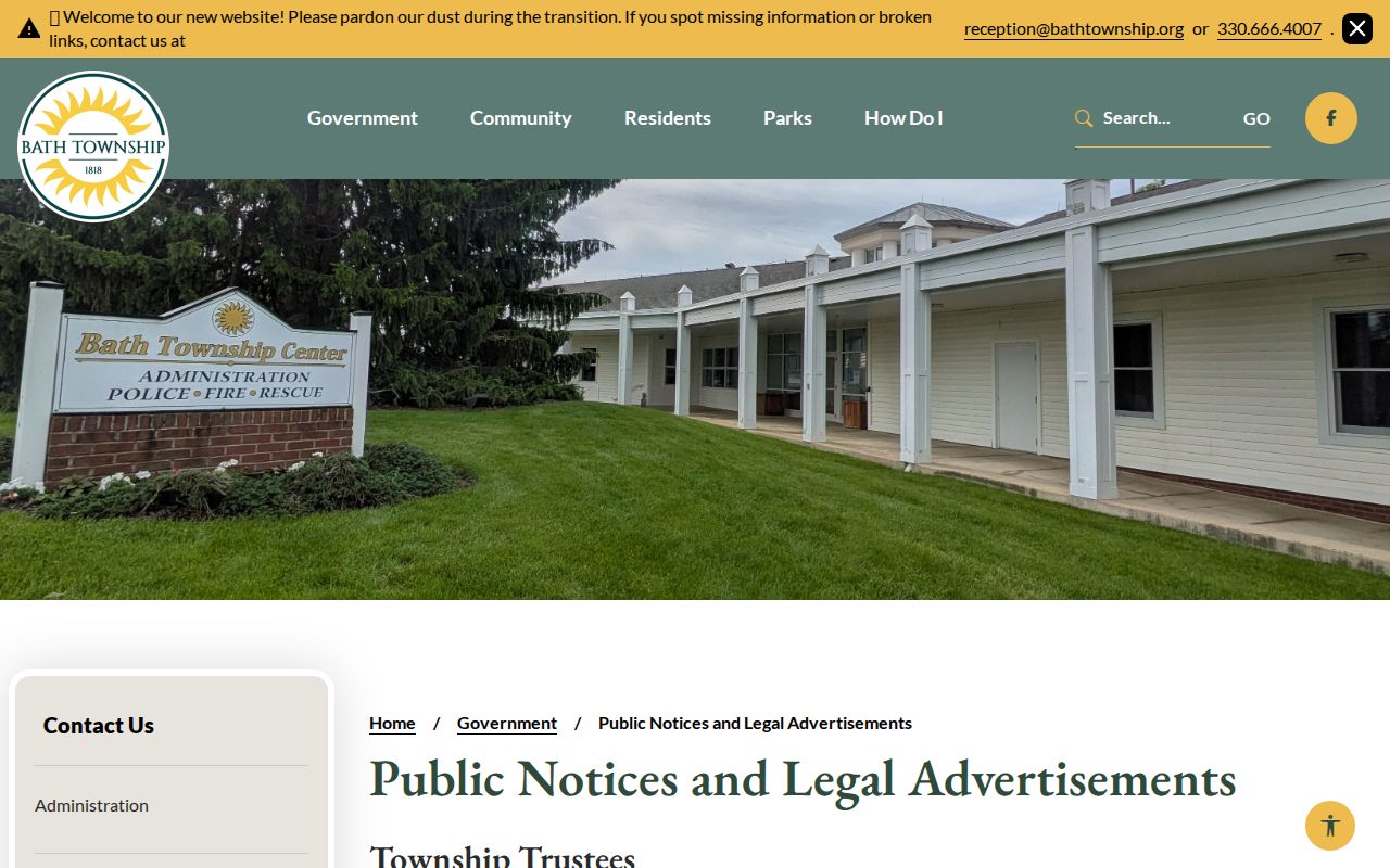
Use a notice's stated property and case information as a dated lead, then confirm ownership and parcel details in the County record.
Bath Township Street Service Records
Road questions do not all belong in the parcel system. The Township Service Department handles dedicated-road responsibility, signage questions, and local access or driveway processes. Its documented 60.55 miles of dedicated township roads show why a street directory needs to keep road-service records separate from land-title records. County GIS and Fiscal Office records establish parcel context. Township departments can answer the local operational question attached to a road or notice.
The Township’s planning and zoning materials include current and prior plan links, including the adopted 2025 Comprehensive Plan. Plans and notice files can place an address in a planning context, but they do not substitute for a deed, parcel record, or resident list.
The Bath Township comprehensive-plan page provides the planning source used here.
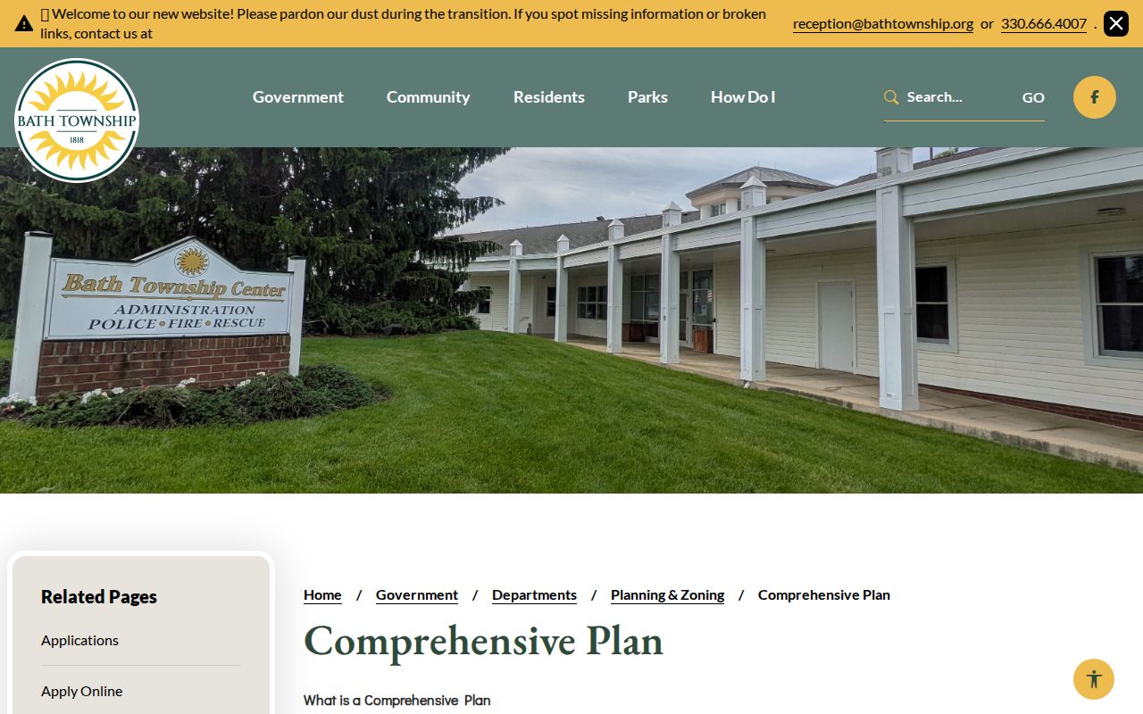
Planning material can add timing and land-use context to an address search without converting the record into proof of residence.
The Bath Township Service Department is the source for road-service questions.
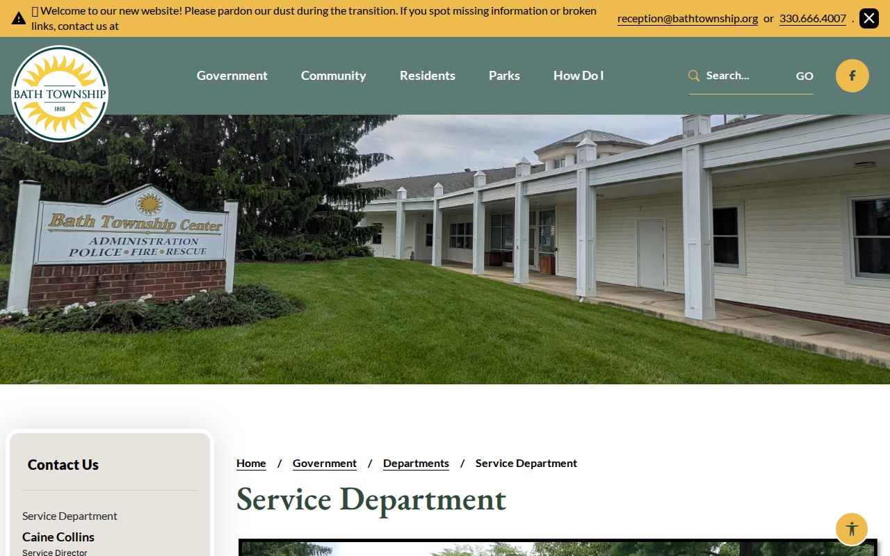
For a road-name or dedicated-road question, contact the Service Department rather than treating a parcel-layer label as a complete road record.
Bath Township ZIP Street Filters
The property portal's five-character Zip field can narrow a property query, while the GIS Viewer confirms parcel geography through an address, owner, or parcel search. The map configuration does not expose ZIP as a main parcel-search field. These are complementary tools. A postal filter can make a property result set smaller. A selected GIS parcel can show the site, shape, and neighboring geometry. Neither result turns a postal route into a Township boundary or a parcel result into a household roster.
Bath Township itself illustrates the difference. Its physical administration address uses an Akron postal label and 44333, while its post-office mailing pattern uses Bath and 44210. Preserve the record's actual site, mailing, and legal-description fields rather than rewriting one as another. More detailed postal verification belongs with the Bath Township ZIP code directory.
Bath Township Street Terms Defined
A few field names prevent common street-search errors. Keep the record's wording with the field that supplied it.
- Parcel identifier
- The county identifier used across appraisal, tax, GIS, and related record workflows. Keep punctuation exactly as displayed.
- Situs or site address
- The physical location of the taxable parcel, which connects an address to GIS geometry and local land records.
- Owner mailing address
- The contact address on a tax or account record. It can differ from the situs address and is not an occupancy claim.
- Legal description
- A lot, subdivision, acreage, or related description that helps connect records when street wording changes.
- Criss-cross directory
- A printed reverse-style directory that may list names or businesses by street address in a specific surviving edition.
Bath Township Historical Street Entries
Akron-Summit County Public Library Special Collections offers historic city-directory resources, including a street-directory explanation and Haines criss-cross research material. These sources can help when a later address trail needs a printed observation, but they must be used volume by volume. Research did not establish an uninterrupted Bath Township run. A nearby Akron volume, an old postal city label, or a business listing does not prove that a given Bath road was fully covered.
Use a directory entry alongside the address, legal description, parcel, and date from county records. For a deeper reading of the historical collections rather than the modern address chain, consult the Bath Township city directory page. Historic places may also appear as Ghent, Bath Center, Hammond's Corners, Wheatfield, or Hammondsburgh, so retain original wording and search sensible variants.
Note: A printed street entry is time-bound evidence from its own edition and should never be carried forward as proof of a current address.
Bath Township Street Directory Limits
A Bath Township street directory can identify address-keyed public records, not every person connected with a home. Property data identifies an owner of record for the selected tax year. It cannot reliably identify all adults or household members. The address chain does not provide current utility or delivery-customer information, motor-vehicle address data, or records protected through confidential voter registration or Safe at Home. A missing public entry is not proof that someone does not live at an address.
Ohio law makes many public records available for inspection and copying under ORC 149.43, while other statutes still require redaction or confidentiality. Ohio's Safe at Home program can protect certain participant address information, including voter and some real-property records. Treat a public result as a limited record of its source and date. Do not republish protected details or use address research to pressure, stalk, harass, or harm another person.
Lawful use. Bath Township address records support personal, lawful research and civic or family-history questions. Respect confidential records and never use a street search to stalk, harass, intimidate, or harm anyone.